Briefing
Four ways to prep — self brief, AI digest, weather maps, airway map.
Watchboard — major aerodromes
On-access aviationweather.gov cache — 10-min TTL, batched per kind.
no METAR
no METAR
no METAR
no METAR
no METAR
no METAR
no METAR
no METAR
no METAR
no METAR
Official charts — IMD / WMO
Official IMD + WMO public charts, embedded live (hot-linked, never re-hosted — NOT FOR NAVIGATION). Refreshed on tab open. Where no direct public image exists (SIGWX, WAFS upper winds) the official viewer is linked.
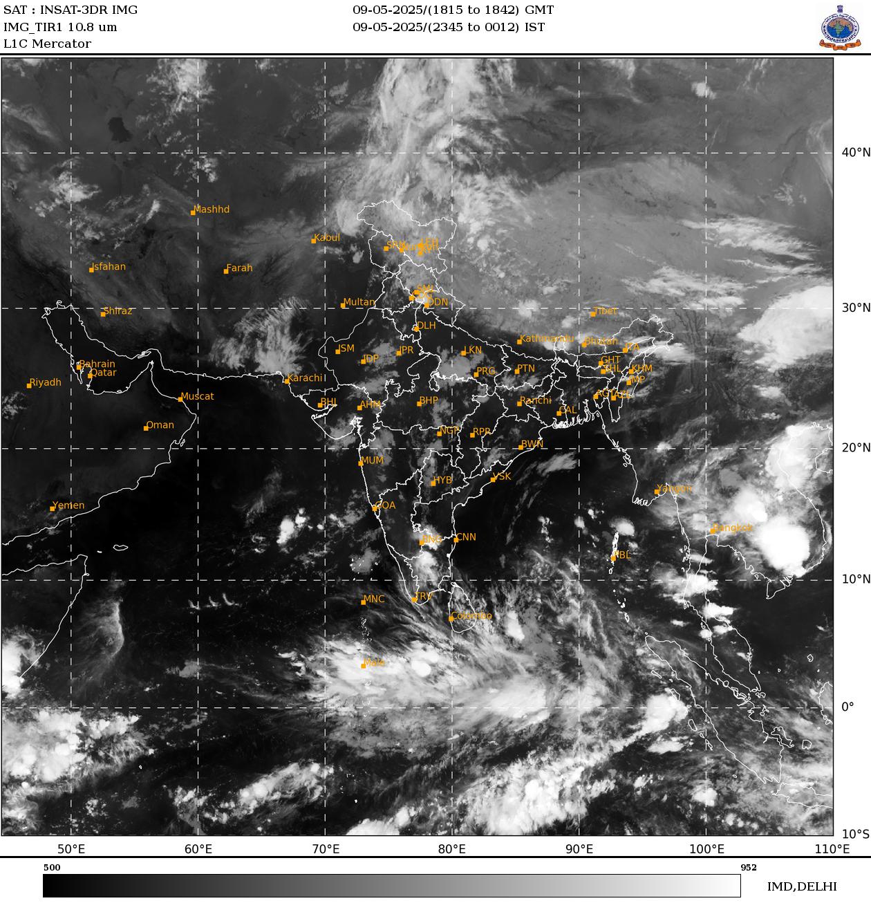
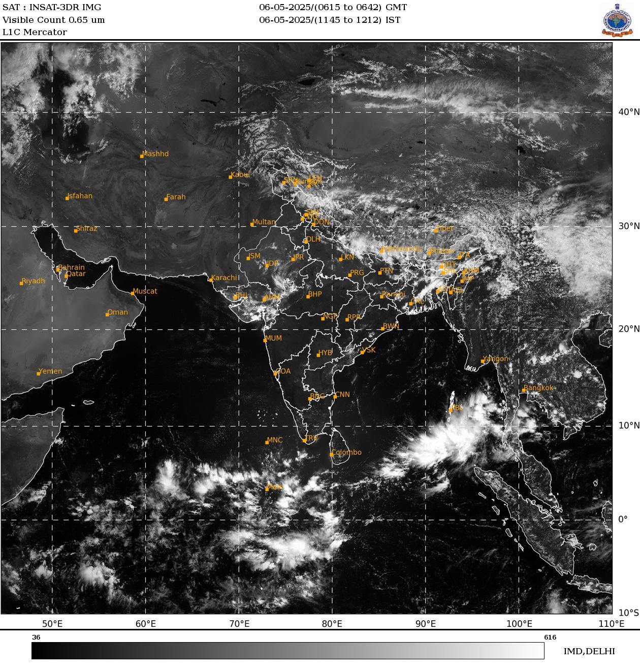
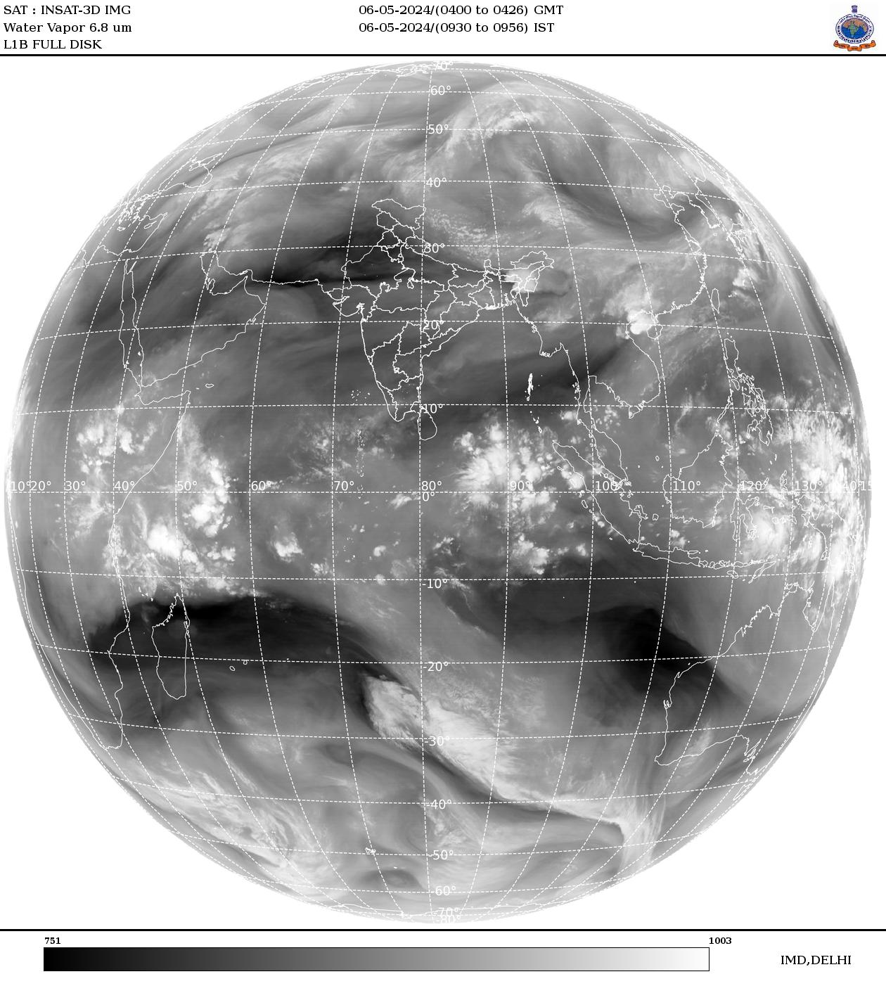
Satellite imagery — IMD SatMet
Asia-sector IR + VIS (every 5–30 min) and water-vapour globe mosaic from INSAT-3D/3DR & METEOSAT via IMD. Hot-linked to mausam.imd.gov.in.
Surface analysis — RSMC New Delhi
Hand-analysed surface charts (isobars/fronts) for South & SE Asia issued 00/06/12/18 UTC. Embeds shown: 00Z and 12Z.


SIGWX — significant weather
FL 250/340/450 significant weather. Aviation Weather Center viewer is the public free route; WAFS machine feeds are credentialed (phase 2 pipeline).
No direct public image verified yet — use the official viewer.
Public SIGWX viewer ↗Upper wind & temperature (WAFS/GFS)
FL 180–530 winds/alts from the GFS WAFS grid — IMD NWP pages and the Aviation Weather Center. Direct chart-image URLs under research.
No direct public image verified yet — use the official viewer.
IMD NWP — GFS products ↗